1994
ST4591 : Concrete-lined stream, Lower Llanmellin
taken 30 years ago, near to Llanvair Discoed, Monmouthshire/Sir Fynwy, Wales
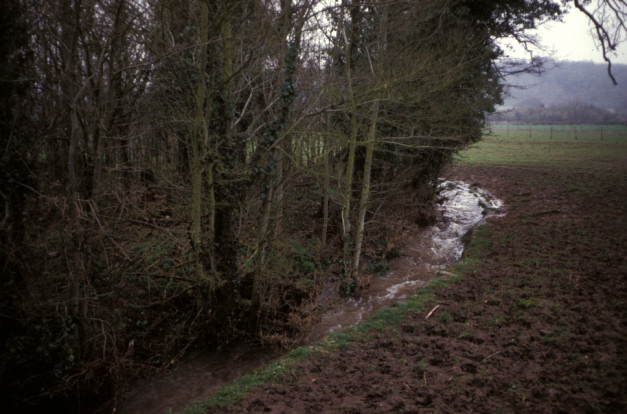
Concrete-lined stream, Lower Llanmellin
The Neddern Brook is known to be one of the main sources of water draining to the Severn Tunnel Great Spring. During construction of the Severn Tunnel in the 1880s, attempts were made to stem the inflow to the tunnel by lining with concrete some of the surface streams crossing the limestone. It had little effect.
 Map © Crown Copyright")
TIP: Click the map for more Large scale mapping
- Grid Square
- ST4591, 24 images (more nearby 🔍)
- Photographer
- Mike Simms (more nearby)
- Date Taken
- 1994 (more nearby)
- Submitted
- Monday, 24 April, 2006
- Subject Location
-
OSGB36:
 ST 45 91 [1000m precision]
WGS84: 51:37.1802N 2:47.3161W