2006
TL5936 : Wheat and oilseed rape, near Wimbish
taken 18 years ago, near to Wimbish, Essex, England
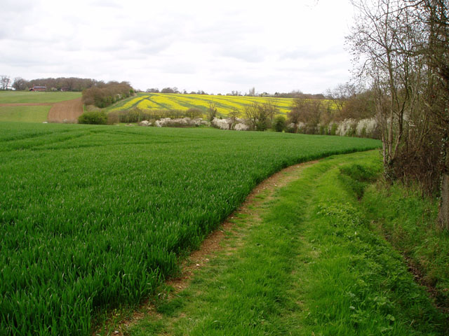
Wheat and oilseed rape, near Wimbish
In the foreground, a large field of unripened wheat; in the background the rape is just coming into flower. The River Pant flows in the valley in between.
 Map © Crown Copyright")
TIP: Click the map for more Large scale mapping
- Grid Square
- TL5936, 18 images (more nearby 🔍)
- Photographer
- David Gruar (more nearby)
- Date Taken
- Sunday, 30 April, 2006 (more nearby)
- Submitted
- Monday, 1 May, 2006
- Subject Location
-
OSGB36:
 TL 59 36 [1000m precision]
WGS84: 52:0.2416N 0:19.3346E - Camera Location
-
OSGB36: TL 598 363
- View Direction
- NORTH (about 0 degrees)