G8433 : Bonet River
taken 16 years ago, 3 km from Killarga, Co Leitrim, Ireland
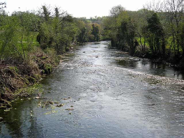
Bonet River
Looking downstream from Gortgarrigan Bridge.
![Creative Commons Licence [Some Rights Reserved]](https://s1.geograph.org.uk/img/somerights20.gif)
|
· Find out How to reuse this image ·
Share:
|
|||||
| Start a discussion on G8433 | Suggest an update to this image | Contact the contributor | |||
Loading map... (JavaScript required)
- Grid Square
- G8433, 3 images (more nearby
 )
)
- Photographer
- Oliver Dixon (find more nearby)
- Date Taken
- Wednesday, 7 May, 2008 (more nearby)
- Submitted
- Monday, 14 December, 2009
- Category
- River (more nearby)
- Subject Location
-
Irish:
 G 847 338 [100m precision]
WGS84: 54:15.1823N 8:14.0828W - Camera Location
-
Irish: G 847 339
- View Direction
- SOUTH (about 180 degrees)
Image classification(about):
Geograph
This page has been viewed about 54 times.
View this location:
KML (Google Earth) ·
Google Maps ·
Bing Maps ·
Geograph Coverage Map ·
More Links for this image
·
Bing Maps ·
Geograph Coverage Map ·
More Links for this image