J3460 : Saintfield Road at Ballycarngannon
taken 14 years ago, near to The Temple, Co Down, Northern Ireland
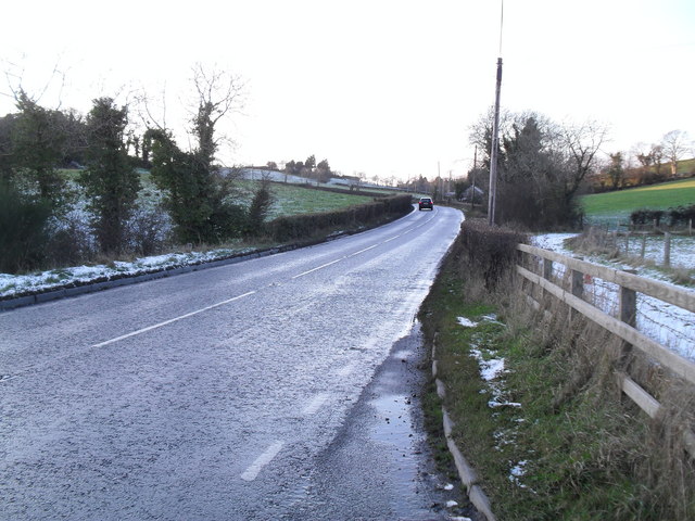
Saintfield Road at Ballycarngannon
Near the Temple Crossroads - view towards Lisburn.
Townland of Ballycarngannon.
Townland of Ballycarngannon.
![Creative Commons Licence [Some Rights Reserved]](https://s1.geograph.org.uk/img/somerights20.gif)
|
· Find out How to reuse this image ·
Share:
|
|||||
| Start a discussion on J3460 | Suggest an update to this image | Contact the contributor | |||
Loading map... (JavaScript required)
- Grid Square
- J3460, 2 images (more nearby
 )
)
- Photographer
- Dean Molyneaux (find more nearby)
- Date Taken
- Sunday, 20 December, 2009 (more nearby)
- Submitted
- Sunday, 20 December, 2009
- Category
- Road > Road (more nearby)
- Subject Location
-
Irish:
 J 340 609 [100m precision]
WGS84: 54:28.7370N 5:55.9876W - Camera Location
-
Irish: J 341 609
- View Direction
- WEST (about 270 degrees)
This page has been viewed about 46 times.
View this location:
KML (Google Earth) ·
Google Maps ·
Bing Maps ·
Geograph Coverage Map ·
More Links for this image
·
Bing Maps ·
Geograph Coverage Map ·
More Links for this image