N1677 : Longford - Carrigglas Manor House - Grazing land
taken 23 years ago, 4 km NE of Longford, Co Longford, Ireland
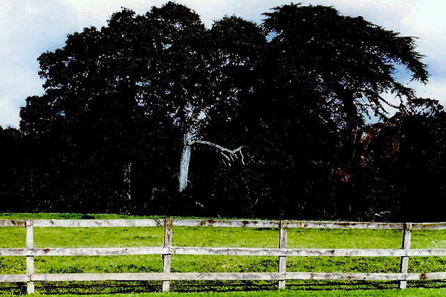
Longford - Carrigglas Manor House - Grazing land
Along entrance drive and across from manor house.
![Creative Commons Licence [Some Rights Reserved]](https://s1.geograph.org.uk/img/somerights20.gif)
|
· Find out How to reuse this image ·
Share:
|
|||||
| Start a discussion on N1677 | Suggest an update to this image | Contact the contributor | |||
Loading map... (JavaScript required)
- Grid Square
- N1677, 20 images (more nearby
 )
)
- Photographer
- Joseph Mischyshyn (find more nearby)
- Date Taken
- Monday, 8 October, 2001 (more nearby)
- Submitted
- Tuesday, 22 December, 2009
- Category
- Grazing land (more nearby)
- Subject Location
-
Irish:
 N 166 773 [100m precision]
WGS84: 53:44.7351N 7:44.9210W - Camera Location
-
Irish: N 165 773
- View Direction
- EAST (about 90 degrees)
Image classification(about):
Geograph
This page has been viewed about 71 times.
View this location:
KML (Google Earth) ·
Google Maps ·
Bing Maps ·
Geograph Coverage Map ·
More Links for this image
·
Bing Maps ·
Geograph Coverage Map ·
More Links for this image