2009
TQ1609 : South Downs on the Monarch Way above Steyning
taken 15 years ago, near to Steyning, West Sussex, England
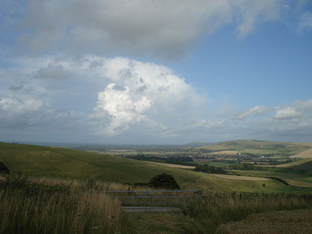
South Downs on the Monarch Way above Steyning
Looking east towards Upper Beeding and the Adur valley from the Monarch's Way close to Steyning Bowl
 Map © Crown Copyright")
TIP: Click the map for more Large scale mapping
- Grid Square
- TQ1609, 82 images (more nearby 🔍)
- Photographer
- Geoff Phoenix (more nearby)
- Date Taken
- Friday, 24 July, 2009 (more nearby)
- Submitted
- Friday, 25 December, 2009
- Subject Location
-
OSGB36:
 TQ 165 093 [100m precision]
WGS84: 50:52.3311N 0:20.7221W - Camera Location
-
OSGB36: TQ 162 095
- View Direction
- East-southeast (about 112 degrees)