2007
SK2554 : Brassington Lane, Wirksworth
taken 17 years ago, near to Hopton, Derbyshire, England
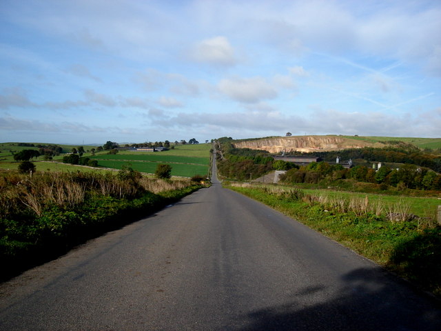
Brassington Lane, Wirksworth
Looking westwards along Brassington Lane from Gallows Knoll, part of the Roman road from Wirksworth to Buxton via Longcliffe, known as "The Street".
 Map © Crown Copyright")
TIP: Click the map for more Large scale mapping
- Grid Square
- SK2554, 64 images (more nearby 🔍)
- Photographer
- Anton Shone (more nearby)
- Date Taken
- Thursday, 4 October, 2007 (more nearby)
- Submitted
- Saturday, 26 December, 2009
- Subject Location
-
OSGB36:
 SK 257 546 [100m precision]
WGS84: 53:5.2799N 1:37.0191W - Camera Location
-
OSGB36: SK 265 545
- View Direction
- WEST (about 270 degrees)