C9240 : Gortnacapple townland
taken 15 years ago, near to Portballintrae, Co Antrim, Northern Ireland
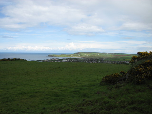
Gortnacapple townland
Looking towards Portballintrae with Runkerry point in the back-ground.
![Creative Commons Licence [Some Rights Reserved]](https://s1.geograph.org.uk/img/somerights20.gif)
|
· Find out How to reuse this image ·
Share:
|
|||||
| Start a discussion on C9240 | Suggest an update to this image | Contact the contributor | |||
Loading map... (JavaScript required)
- Grid Square
- C9240, 7 images (more nearby
 )
)
- Photographer
- Willie Duffin (find more nearby)
- Date Taken
- Thursday, 21 May, 2009 (more nearby)
- Submitted
- Saturday, 2 January, 2010
- Category
- Countryside (more nearby)
- Subject Location
-
Irish:
 C 922 408 [100m precision]
WGS84: 55:12.3615N 6:33.1539W - Camera Location
-
Irish: C 921 407
- View Direction
- Northeast (about 45 degrees)
Image classification(about):
Geograph
This page has been viewed about 26 times.
View this location:
KML (Google Earth) ·
Google Maps ·
Bing Maps ·
Geograph Coverage Map ·
More Links for this image
·
Bing Maps ·
Geograph Coverage Map ·
More Links for this image