2008
NC2565 : Peat covered cairn on featureless moorland hillside in Strath Chailleach
taken 16 years ago, near to Bealach Cnoc na h-Ùidhe [other Features], Highland, Great Britain
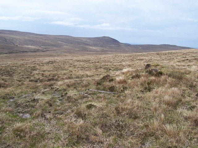
Peat covered cairn on featureless moorland hillside in Strath Chailleach
You can see the curving drainage 'grips' cut into the peat on the land in the distance. These were made to drain and 'improve' the land in the 1950s/60s.
 Map © Crown Copyright")
TIP: Click the map for more Large scale mapping
- Grid Square
- NC2565, 2 images (more nearby 🔍)
- Photographer
- Nick Lindsay (more nearby)
- Date Taken
- Sunday, 11 May, 2008 (more nearby)
- Submitted
- Wednesday, 27 January, 2010
- Subject Location
-
OSGB36:
 NC 258 651 [100m precision]
WGS84: 58:32.3861N 4:59.5766W - Camera Location
-
OSGB36: NC 259 651
- View Direction
- Northwest (about 315 degrees)