2006
SO9286 : Original Canal Route
taken 18 years ago, near to Quarry Bank, Dudley, England
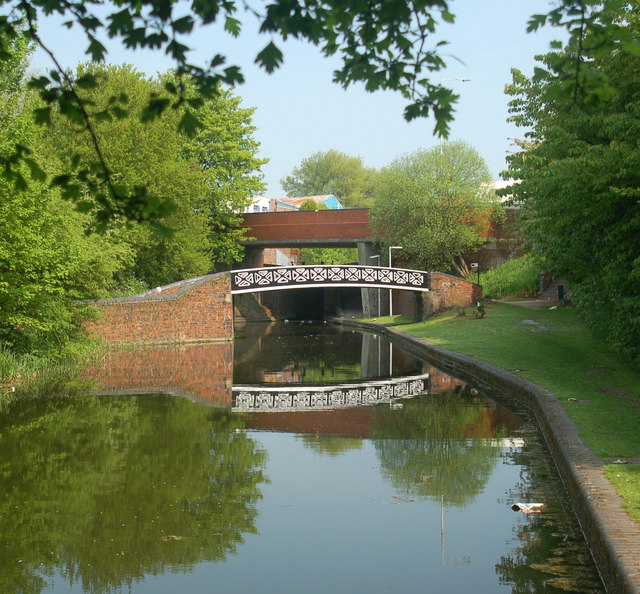
Original Canal Route.
"Iron Bridge" spans the top of original route of the Dudley No 1 Canal, built in 1779, and followed the landscape. It was abandoned due to mining subsidence, and consisted of "Nine Lock's".
 Map © Crown Copyright")
TIP: Click the map for more Large scale mapping
- Grid Square
- SO9286, 298 images (more nearby 🔍)
- Photographer
- David M Lear (more nearby)
- Date Taken
- Friday, 12 May, 2006 (more nearby)
- Submitted
- Saturday, 13 May, 2006
- Subject Location
-
OSGB36:
 SO 920 866 [100m precision]
WGS84: 52:28.6361N 2:7.1528W