2006
SD8120 : Sand Beds Farm (Ruin)
taken 18 years ago, near to Edenfield, Lancashire, England
This is 1 of 4 images, with title starting with Sand Beds Farm in this square
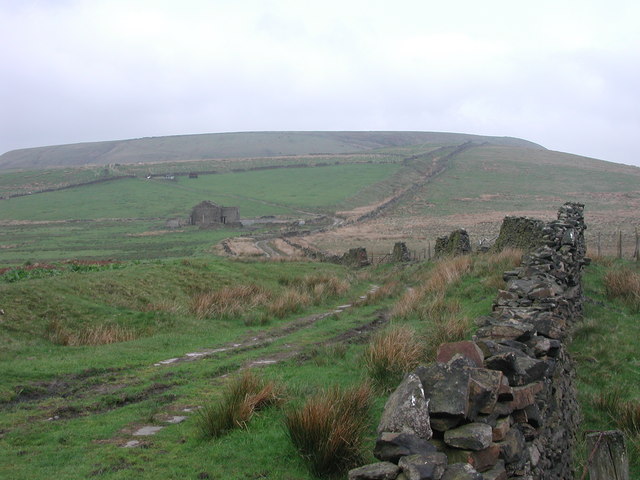
Sand Beds Farm (Ruin)
From Sand Beds Lane. Cowpe Lowe (440m) in background.
 Map © Crown Copyright")
TIP: Click the map for more Large scale mapping
- Grid Square
- SD8120, 11 images (more nearby 🔍)
- Photographer
- Gillian Rimington (more nearby)
- Date Taken
- Sunday, 14 May, 2006 (more nearby)
- Submitted
- Sunday, 14 May, 2006
- Subject Location
-
OSGB36:
 SD 811 202 [100m precision]
WGS84: 53:40.6751N 2:17.2557W - View Direction
- East-northeast (about 67 degrees)