G7286 : N56 at Meenakillew
taken 14 years ago, 5 km S of Ardara, Co Donegal, Ireland
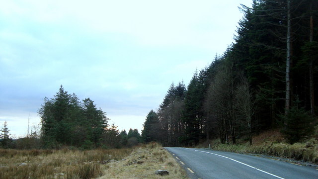
N56 at Meenakillew
Not the best shot in the world, but with the impressively steep incline of Altnandewon towering above the road to the right shrouded by trees, it was the best available.
![Creative Commons Licence [Some Rights Reserved]](https://s1.geograph.org.uk/img/somerights20.gif)
|
· Find out How to reuse this image ·
Share:
|
|||||
| Start a discussion on G7286 | Suggest an update to this image | Contact the contributor | |||
Loading map... (JavaScript required)
- Grid Square
- G7286 (more nearby
 )
)
- Photographer
- louise price (find more nearby)
- Date Taken
- Monday, 8 February, 2010 (more nearby)
- Submitted
- Monday, 8 February, 2010
- Category
- Road > Road (more nearby)
- Subject Location
-
Irish:
 G 729 864 [100m precision]
WGS84: 54:43.5088N 8:25.2433W - Camera Location
-
Irish: G 729 866
- View Direction
- SOUTH (about 180 degrees)
This page has been viewed about 55 times.
View this location:
KML (Google Earth) ·
Google Maps ·
Bing Maps ·
Geograph Coverage Map ·
More Links for this image
·
Bing Maps ·
Geograph Coverage Map ·
More Links for this image