J4273 : Sign, Drumadoon Drive, Ballybeen
taken 14 years ago, near to Dundonald, Co Down, Northern Ireland
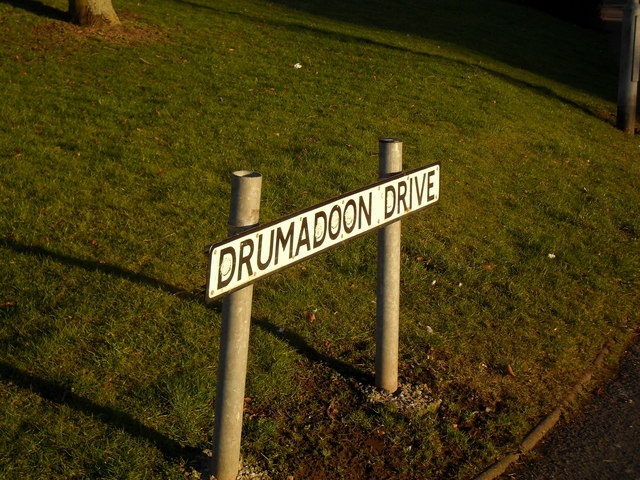
Sign, Drumadoon Drive, Ballybeen
At the junction with Robbs Road.
Ballybeen, Dundonald
Ballybeen is a townland located east of Dundonald village, with its name deriving from the Irish "Baile Bín" (Town of the peak).
It was a rural area on the main road from Belfast to Newtownards, dominated by Ballybeen House - which belonged to the Robb family. The house and surrounding farmland were cleared for the construction of the Ballybeen housing estate in the 1960s.
As was the case in many new estates at the time, there was a mixture of Protestant and Roman Catholic families - however as The Troubles progressed through the '70s, the estate became almost exclusively Protestant with some loyalist elements within it.
![Creative Commons Licence [Some Rights Reserved]](https://s1.geograph.org.uk/img/somerights20.gif)
|
· Find out How to reuse this image ·
Share:
|
|||||
| Start a discussion on J4273 | Suggest an update to this image | Contact the contributor | |||
Loading map... (JavaScript required)
- Grid Square
- J4273, 49 images (more nearby
 )
)
- Photographer
- Dean Molyneaux (find more nearby)
- Date Taken
- Friday, 12 February, 2010 (more nearby)
- Submitted
- Saturday, 13 February, 2010
- Category
- Signs (more nearby)
- Subject Location
-
Irish:
 J 422 739 [100m precision]
WGS84: 54:35.6042N 5:47.9806W - Camera Location
-
Irish: J 422 739
- View Direction
- East-southeast (about 112 degrees)
Image classification(about):
Supplemental image
This page has been viewed about 95 times.
View this location:
KML (Google Earth) ·
Google Maps ·
Bing Maps ·
Geograph Coverage Map ·
More Links for this image
·
Bing Maps ·
Geograph Coverage Map ·
More Links for this image