TL9295 : Pingo Trail, towards Stow Bedon
taken 15 years ago, near to Thompson, Norfolk, England
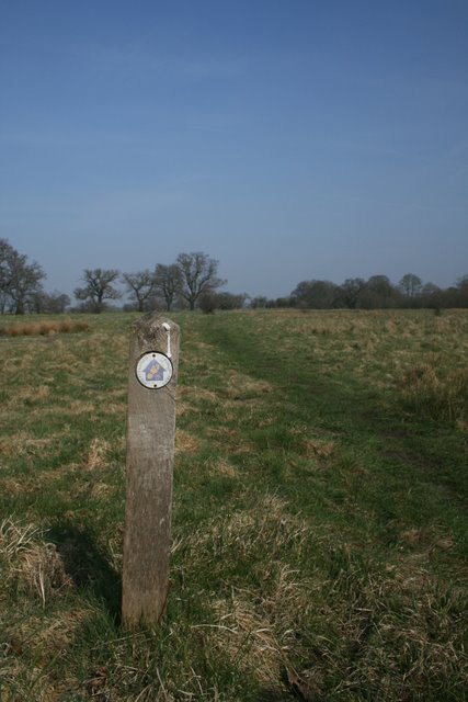
This photo is part of a series following the route clockwise.
Next: not yet uploaded.
Previous: TL9295 : Small pingo in open landscape
The Great Eastern Pingo Trail is a flat 8-mile circular walk near the villages of Thompson and Stow Bedon. Link
Pingos are formed in permafrost environments. Those in this area date from the end of the last ice age (9,000 years ago) and are some of the best-preserved in the country. When subsurface water freezes, it creates a lens of ice, raising the soil in a dome shape. Soil is washed off the top of this formation and accumulates around the base; when the ice eventually melts, the pingo collapses and a shallow crater is left. Link
The Great Eastern part of the trail's name comes from its use of a section of trackbed of the former Thetford-Watton line, built by the Thetford and Watton Railway Company in 1869 and closed under the Beeching cuts in 1964. The car park for the trail is on the site of Stow Bedon station. Some information on this branch can be found at Link
The walk passes through a variety of habitats including commons at Stow Bedon and Thompson Link, heaths at Stow/Breckles and Hockham, a basin mire at Cranberry Rough Link
 Map © Crown Copyright")
- Grid Square
- TL9295, 18 images (more nearby 🔍)
- Photographer
- Katy Walters (more nearby)
- Date Taken
- Saturday, 21 March, 2009 (more nearby)
- Submitted
- Saturday, 13 February, 2010
- Subject Location
-
OSGB36:
 TL 926 954 [100m precision]
WGS84: 52:31.3549N 0:50.3103E - Camera Location
-
OSGB36: TL 926 953
- View Direction
- Northeast (about 45 degrees)