2006
SK4732 : Ruskin Avenue
taken 18 years ago, near to Sawley, Derbyshire, England
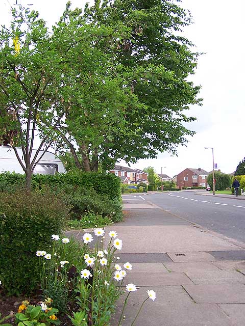
Ruskin Avenue
In the 1940s there were a number of roads only about 100 yards long, off Wilsthorpe Road. Since then the M1 motorway has been constructed to the west and in the latter half of the last century those short roads were extended and linked resulting in a large housing estate now filling the intervening area. Trees and flowers in the gardens are now softening the landscape and giving the estate a more mature feel.
 Map © Crown Copyright")
TIP: Click the map for more Large scale mapping
- Grid Square
- SK4732, 32 images (more nearby 🔍)
- Photographer
- Garth Newton (more nearby)
- Date Taken
- Thursday, 18 May, 2006 (more nearby)
- Submitted
- Friday, 19 May, 2006
- Subject Location
-
OSGB36:
 SK 474 325 [100m precision]
WGS84: 52:53.2725N 1:17.8191W - Camera Location
-
OSGB36: SK 475 324
- View Direction
- West-northwest (about 292 degrees)