2009
NU1241 : Holy Island: Path from Shore to Church
taken 15 years ago, near to Holy Island, Northumberland, England
This is 1 of 96 images, with title starting with Holy Island in this square
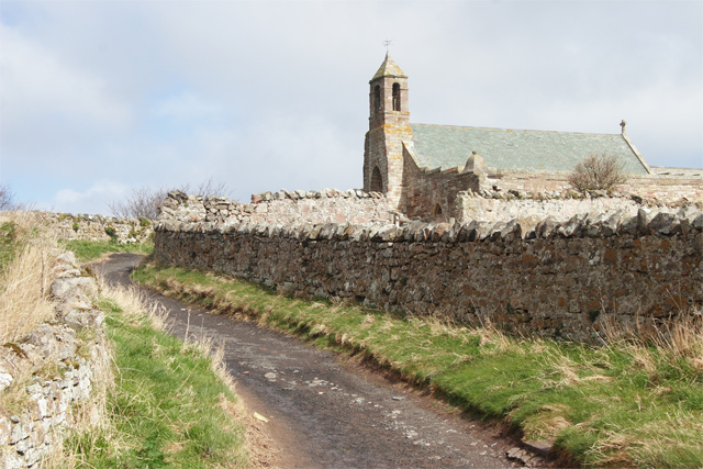
Holy Island: Path from Shore to Church
 Map © Crown Copyright")
TIP: Click the map for more Large scale mapping
- Grid Square
- NU1241, 1017 images (more nearby 🔍)
- Photographer
- Great Northern Cycleway (more nearby)
- Date Taken
- Saturday, 28 March, 2009 (more nearby)
- Submitted
- Thursday, 25 February, 2010
- Subject Location
-
OSGB36:
 NU 125 417 [100m precision]
WGS84: 55:40.1378N 1:48.1619W - Camera Location
-
OSGB36: NU 124 416
- View Direction
- North-northeast (about 22 degrees)