2010
SD4757 : Into The Gloom
taken 14 years ago, near to Conder Green, Lancashire, England
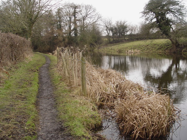
Into The Gloom
Starting just south of Brantbeck Bridge, the Lancaster canal runs through cuttings for some 2.7km northwards, rather gloomy in winter.
 Map © Crown Copyright")
TIP: Click the map for more Large scale mapping
- Grid Square
- SD4757, 56 images (more nearby 🔍)
- Photographer
- Bob Jenkins (more nearby)
- Date Taken
- Thursday, 25 February, 2010 (more nearby)
- Submitted
- Wednesday, 3 March, 2010
- Subject Location
-
OSGB36:
 SD 472 571 [100m precision]
WGS84: 54:0.4324N 2:48.4267W - Camera Location
-
OSGB36: SD 472 571
- View Direction
- NORTH (about 0 degrees)