2006
TM4566 : Minsmere Level
taken 18 years ago, near to Eastbridge, Suffolk, England
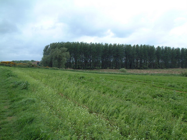
Minsmere Level
Looking north west from the footpath near Lower Abbey.
 Map © Crown Copyright")
TIP: Click the map for more Large scale mapping
- Grid Square
- TM4566, 111 images (more nearby 🔍)
- Photographer
- David Squire (more nearby)
- Date Taken
- Sunday, 21 May, 2006 (more nearby)
- Submitted
- Monday, 22 May, 2006
- Subject Location
-
OSGB36:
 TM 455 663 [100m precision]
WGS84: 52:14.4057N 1:35.6647E - Camera Location
-
OSGB36: TM 456 661
- View Direction
- Northwest (about 315 degrees)