2010
SJ9315 : River Penk upstream at Lower Drayton
taken 14 years ago, near to Penkridge, Staffordshire, England
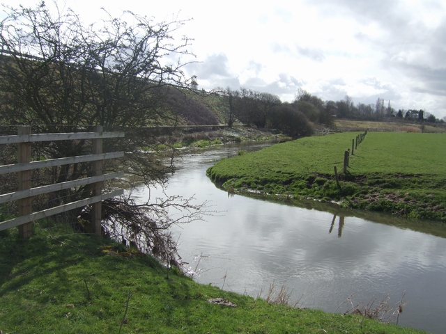
River Penk upstream at Lower Drayton
The original river channel was diverted for construction of the M6 motorway embankment in the late 1960s.
 Map © Crown Copyright")
TIP: Click the map for more Large scale mapping
- Grid Square
- SJ9315, 133 images (more nearby 🔍)
- Photographer
- John M (more nearby)
- Date Taken
- Saturday, 3 April, 2010 (more nearby)
- Submitted
- Saturday, 3 April, 2010
- Subject Location
-
OSGB36:
 SJ 933 154 [100m precision]
WGS84: 52:44.1985N 2:5.9601W - Camera Location
-
OSGB36: SJ 933 155
- View Direction
- SOUTH (about 180 degrees)