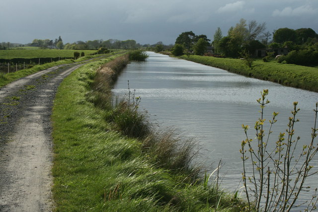
N5249 : The Royal Canal
taken 15 years ago, 3 km from Correllstown, Co Westmeath, Ireland
![Creative Commons Licence [Some Rights Reserved]](https://s1.geograph.org.uk/img/somerights20.gif)
|
· Find out How to reuse this image ·
Share:
|
|||||
| Start a discussion on N5249 | Suggest an update to this image | Contact the contributor | |||
Loading map... (JavaScript required)
- Grid Square
- N5249, 3 images (more nearby
 )
)
- Photographer
- Sarah777 (find more nearby)
- Date Taken
- Thursday, 7 May, 2009 (more nearby)
- Submitted
- Sunday, 4 April, 2010
- Category
- Canal (more nearby)
- Subject Location
-
Irish:
 N 526 493 [100m precision]
WGS84: 53:29.4828N 7:12.4325W - Camera Location
-
Irish: N 528 492
- View Direction
- West-northwest (about 292 degrees)
Image classification(about):
Geograph
This page has been viewed about 45 times.
View this location:
KML (Google Earth) ·
Google Maps ·
Bing Maps ·
Geograph Coverage Map ·
More Links for this image
·
Bing Maps ·
Geograph Coverage Map ·
More Links for this image