J3673 : Ulster Foundries manhole cover, Belfast (1)
taken 14 years ago, 3 km from Belfast, Co Antrim, Northern Ireland
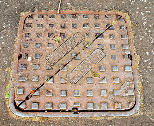
Ulster Foundries manhole cover, Belfast (1)
An Ulster Foundries casting, on the north western side of the Beersbridge Road, at the Comber Greenway.
Manhole covers, foundry products etc, Northern Ireland
A series of photographs showing manhole covers, fire hydrants, gratings, foundry products, foundry plaques and inscriptions etc, in Northern Ireland.
![Creative Commons Licence [Some Rights Reserved]](https://s1.geograph.org.uk/img/somerights20.gif)
|
· Find out How to reuse this image ·
Share:
|
|||||
| Start a discussion on J3673 | Suggest an update to this image | Contact the contributor | |||
Loading map... (JavaScript required)
- Grid Square
- J3673, 309 images (more nearby
 )
)
- Photographer
- Albert Bridge (find more nearby)
- Date Taken
- Thursday, 15 April, 2010 (more nearby)
- Submitted
- Thursday, 15 April, 2010
- Category
- Manhole covers (more nearby)
- Subject Location
-
Irish:
 J 369 739 [100m precision]
WGS84: 54:35.7146N 5:52.9604W - Camera Location
-
Irish: J 369 739
- View Direction
- NORTH (about 0 degrees)
Other Tags
Image classification(about):
Supplemental image
This page has been viewed about 114 times.
View this location:
KML (Google Earth) ·
Google Maps ·
Bing Maps ·
Geograph Coverage Map ·
More Links for this image
·
Bing Maps ·
Geograph Coverage Map ·
More Links for this image