2005
SU4795 : Didcot Power Station
taken 19 years ago, near to Drayton, Oxfordshire, England
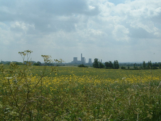
Didcot Power Station
The view from the path between southwest Abingdon and Sutton Wick looking South East. The path runs along the east side of the grid square. In the far distance is The Ridgeway.
 Map © Crown Copyright")
TIP: Click the map for more Large scale mapping
- Grid Square
- SU4795, 19 images (more nearby 🔍)
- Photographer
- Claire Ward (more nearby)
- Date Taken
- Sunday, 12 June, 2005 (more nearby)
- Submitted
- Monday, 13 June, 2005
- Subject Location
-
OSGB36:
 SU 47 95 [1000m precision]
WGS84: 51:39.3773N 1:18.8850W