2010
NY2914 : An ice-covered Blea Tarn
taken 14 years ago, 3 km from Watendlath, Cumbria, England
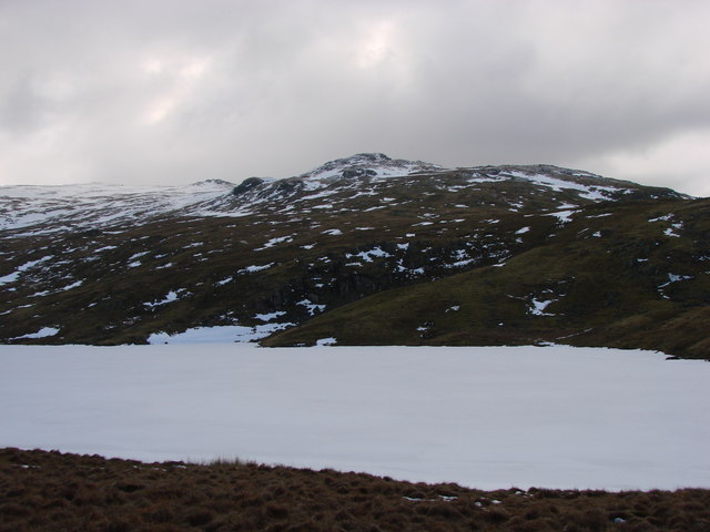
An ice-covered Blea Tarn
 Map © Crown Copyright")
TIP: Click the map for more Large scale mapping
- Grid Square
- NY2914, 40 images (more nearby 🔍)
- Photographer
- Ed Jennings (more nearby)
- Date Taken
- Saturday, 13 February, 2010 (more nearby)
- Submitted
- Monday, 19 April, 2010
- Subject Location
-
OSGB36:
 NY 291 141 [100m precision]
WGS84: 54:31.0330N 3:5.8048W - Camera Location
-
OSGB36: NY 292 142
- View Direction
- Southwest (about 225 degrees)