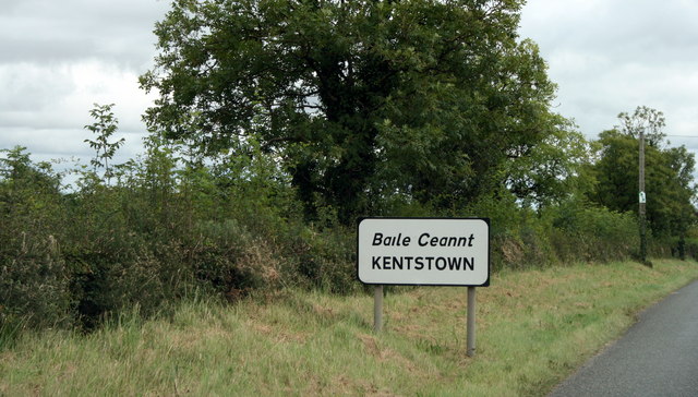
N9665 : Kentstown, County Meath
taken 17 years ago, near to Kentstown, Co Meath, Ireland
![Creative Commons Licence [Some Rights Reserved]](https://s1.geograph.org.uk/img/somerights20.gif)
|
· Find out How to reuse this image ·
Share:
|
|||||
| Start a discussion on N9665 | Suggest an update to this image | Contact the contributor | |||
Loading map... (JavaScript required)
- Grid Square
- N9665 (more nearby
 )
)
- Photographer
- Sarah777 (find more nearby)
- Date Taken
- Thursday, 30 August, 2007 (more nearby)
- Submitted
- Wednesday, 21 April, 2010
- Category
- Approach road (more nearby)
- Subject Location
-
Irish:
 N 960 655 [100m precision]
WGS84: 53:37.8404N 6:32.9309W - Camera Location
-
Irish: N 960 655
- View Direction
- EAST (about 90 degrees)
This page has been viewed about 79 times.
View this location:
KML (Google Earth) ·
Google Maps ·
Bing Maps ·
Geograph Coverage Map ·
More Links for this image
·
Bing Maps ·
Geograph Coverage Map ·
More Links for this image