2005
NO1491 : Dee Valley
taken 19 years ago, near to Braemar, Aberdeenshire, Scotland
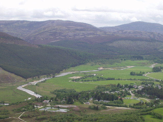
Dee Valley
This photo shows the River Dee and its fertile floodplain.
 Map © Crown Copyright")
TIP: Click the map for more Large scale mapping
- Grid Square
- NO1491, 184 images (more nearby 🔍)
- Photographer
- Ailith Stewart (more nearby)
- Date Taken
- Saturday, 11 June, 2005 (more nearby)
- Submitted
- Monday, 13 June, 2005
- Subject Location
-
OSGB36:
 NO 146 916 [100m precision]
WGS84: 57:0.4570N 3:24.4645W - Camera Location
-
OSGB36: NO 133 888
- View Direction
- North-northeast (about 22 degrees)