2006
NO1839 : River Isla via Open Canoe
taken 18 years ago, 3 km from Meikleour, Perth And Kinross, Scotland
River Isla via Open Canoe
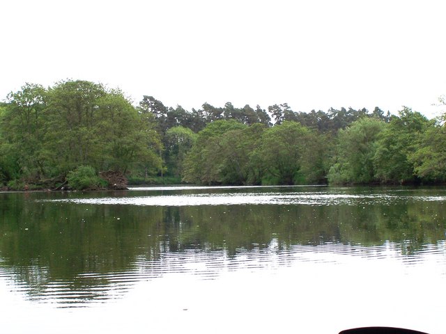
In this area, the lower River Isla is slowly meandering through the farmland of Perthshire enroute to its end, where it joins the River Tay, in approximately 3-4Km. High sided river banks, with the occasional small wood, dominate and restrict the views (of farmland) from the river.
 Map © Crown Copyright")
TIP: Click the map for more Large scale mapping
- Grid Square
- NO1839, 5 images (more nearby 🔍)
- Photographer
- Karl Peet (more nearby)
- Date Taken
- Monday, 5 June, 2006 (more nearby)
- Submitted
- Tuesday, 6 June, 2006
- Subject Location
-
OSGB36:
 NO 18 39 [1000m precision]
WGS84: 56:32.4244N 3:19.6157W - Camera Location
-
OSGB36: NO 188 395
- View Direction
- SOUTH (about 180 degrees)