S0825 : Farmland at Knockmorris
taken 14 years ago, 3 km from Caher, Co Tipperary, Ireland
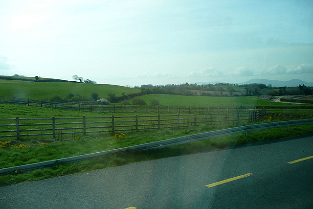
Farmland at Knockmorris
The land adjacent to the N24 is more undulating to the east of Caher, with Knockmorris (106 metres) to the left. Taken from the Limerick to Waterford coach.
![Creative Commons Licence [Some Rights Reserved]](https://s1.geograph.org.uk/img/somerights20.gif)
|
· Find out How to reuse this image ·
Share:
|
|||||
| Start a discussion on S0825 | Suggest an update to this image | Contact the contributor | |||
Loading map... (JavaScript required)
- Grid Square
- S0825 (more nearby
 )
)
- Photographer
- Graham Horn (find more nearby)
- Date Taken
- Wednesday, 21 April, 2010 (more nearby)
- Submitted
- Saturday, 24 April, 2010
- Category
- Farmland (more nearby)
- Subject Location
-
Irish:
 S 083 254 [100m precision]
WGS84: 52:22.8486N 7:52.6777W - Camera Location
-
Irish: S 083 254
- View Direction
- Southwest (about 225 degrees)
This page has been viewed about 34 times.
View this location:
KML (Google Earth) ·
Google Maps ·
Bing Maps ·
Geograph Coverage Map ·
More Links for this image
·
Bing Maps ·
Geograph Coverage Map ·
More Links for this image