W6771 : Grand Parade
taken 14 years ago, near to Cork, Co Cork, Ireland
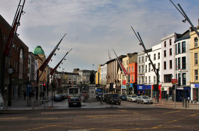
Grand Parade
The Grand Parade is built over a channel of the Lee, like so many of the other streets in the centre of Cork city. The channel, which later became the Grand Parade, is shown in the earliest maps of Cork. In the late 18th century Cork Corporation built culverts to carry the water for some of the channels of the Lee and built the streets over them. The channel had been completely filled in by the late 1780s.
![Creative Commons Licence [Some Rights Reserved]](https://s1.geograph.org.uk/img/somerights20.gif)
|
· Find out How to reuse this image ·
Share:
|
|||||
| Start a discussion on W6771 | Suggest an update to this image | Contact the contributor | |||
Loading map... (JavaScript required)
- Grid Square
- W6771, 228 images (more nearby
 )
)
- Photographer
- Andrew Wood (find more nearby)
- Date Taken
- Thursday, 22 April, 2010 (more nearby)
- Submitted
- Wednesday, 5 May, 2010
- Category
- Street (more nearby)
- Subject Location
-
Irish:
 W 673 717 [100m precision]
WGS84: 51:53.8287N 8:28.4844W - Camera Location
-
Irish: W 673 718
- View Direction
- South-southeast (about 157 degrees)
Image classification(about):
Geograph
This page has been viewed about 84 times.
View this location:
KML (Google Earth) ·
Google Maps ·
Bing Maps ·
Geograph Coverage Map ·
More Links for this image
·
Bing Maps ·
Geograph Coverage Map ·
More Links for this image