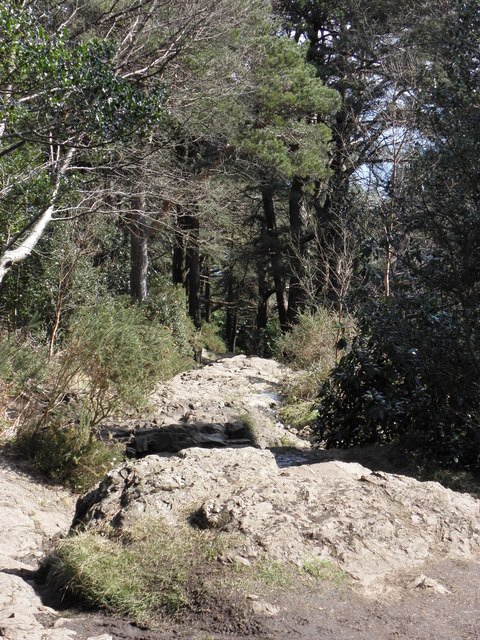
J3629 : Donard Forest , Newcastle
taken 14 years ago, 3 km from Newcastle, Co Down, Northern Ireland
This is 1 of 9 images, with title Donard Forest , Newcastle in this square
![Creative Commons Licence [Some Rights Reserved]](https://s1.geograph.org.uk/img/somerights20.gif)
|
· Find out How to reuse this image ·
Share:
|
|||||
| Start a discussion on J3629 | Suggest an update to this image | Contact the contributor | |||
Loading map... (JavaScript required)
- Grid Square
- J3629, 301 images (more nearby
 )
)
- Photographer
- HENRY CLARK (find more nearby)
- Date Taken
- Monday, 12 April, 2010 (more nearby)
- Submitted
- Sunday, 9 May, 2010
- Category
- Forest (more nearby)
- Subject Location
-
Irish:
 J 365 296 [100m precision]
WGS84: 54:11.8634N 5:54.4777W - Camera Location
-
Irish: J 366 296
- View Direction
- West-southwest (about 247 degrees)
Image classification(about):
Geograph
This page has been viewed about 64 times.
View this location:
KML (Google Earth) ·
Google Maps ·
Bing Maps ·
Geograph Coverage Map ·
More Links for this image
·
Bing Maps ·
Geograph Coverage Map ·
More Links for this image