C6636 : Point Road, Lower Drummans
taken 14 years ago, 4 km SE of Greencastle, Co Donegal, Ireland
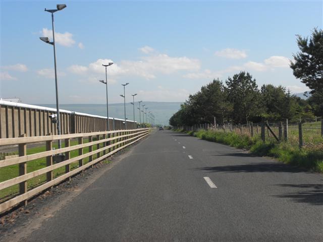
Point Road, Lower Drummans
Heading south-east. Magilligan Prison is on the left
![Creative Commons Licence [Some Rights Reserved]](https://s1.geograph.org.uk/img/somerights20.gif)
|
· Find out How to reuse this image ·
Share:
|
|||||
| Start a discussion on C6636 | Suggest an update to this image | Contact the contributor | |||
Loading map... (JavaScript required)
- Grid Square
- C6636, 3 images (more nearby
 )
)
- Photographer
- Kenneth Allen (find more nearby)
- Date Taken
- Saturday, 22 May, 2010 (more nearby)
- Submitted
- Sunday, 23 May, 2010
- Category
- Road scene (more nearby)
- Subject Location
-
Irish:
 C 669 368 [100m precision]
WGS84: 55:10.4767N 6:56.9913W - Camera Location
-
Irish: C 669 369
- View Direction
- Southeast (about 135 degrees)
This page has been viewed about 34 times.
View this location:
KML (Google Earth) ·
Google Maps ·
Bing Maps ·
Geograph Coverage Map ·
More Links for this image
·
Bing Maps ·
Geograph Coverage Map ·
More Links for this image