2006
NO7572 : Garvock Hill
taken 18 years ago, near to Tulloch, Aberdeenshire, Scotland
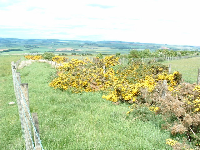
Garvock Hill
This is at the point where the track that covers the entire length of the
Garvock Hill divides in two, one leading to Sootywells and the other to Treehead
Garvock Hill divides in two, one leading to Sootywells and the other to Treehead
 Map © Crown Copyright")
TIP: Click the map for more Large scale mapping
- Grid Square
- NO7572 (more nearby 🔍)
- Photographer
- Alan Thomson (more nearby)
- Date Taken
- Saturday, 17 June, 2006 (more nearby)
- Submitted
- Saturday, 17 June, 2006
- Subject Location
-
OSGB36:
 NO 75 72 [1000m precision]
WGS84: 56:50.5981N 2:24.1938W - View Direction
- North-northeast (about 22 degrees)