2010
ST6406 : Hilfield: detail of Stones Farm signpost
taken 14 years ago, near to Hermitage, Dorset, England
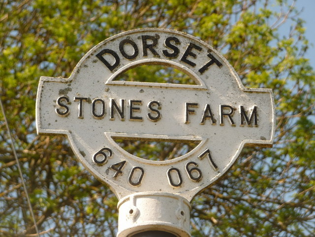
Hilfield: detail of Stones Farm signpost
A close-up of the finial of the finger-post (see ST6406 : Hilfield: Stones Farm junction), giving location and grid reference details.
 Map © Crown Copyright")
TIP: Click the map for more Large scale mapping
- Grid Square
- ST6406, 53 images (more nearby 🔍)
- Photographer
- Chris Downer (more nearby)
- Date Taken
- Saturday, 22 May, 2010 (more nearby)
- Submitted
- Monday, 24 May, 2010
- Subject Location
-
OSGB36:
 ST 640 067 [100m precision]
WGS84: 50:51.5482N 2:30.7114W - Camera Location
-
OSGB36: ST 640 067
- View Direction
- NORTH (about 0 degrees)