J3558 : Lisbane Road sign near Ballynahinch
taken 14 years ago, near to Boardmills, Co Down, Northern Ireland
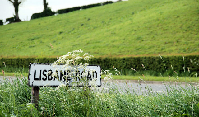
Lisbane Road sign near Ballynahinch
The sign at the end of the Lisbane Road J3758 : The Lisbane Road near Saintfield (2) where it joins the Belfast road, north of Ballynahinch. Partly hidden by cow parsley and grass.
![Creative Commons Licence [Some Rights Reserved]](https://s1.geograph.org.uk/img/somerights20.gif)
|
· Find out How to reuse this image ·
Share:
|
|||||
| Start a discussion on J3558 | Suggest an update to this image | Contact the contributor | |||
Loading map... (JavaScript required)
- Grid Square
- J3558, 14 images (more nearby
 )
)
- Photographer
- Albert Bridge (find more nearby)
- Date Taken
- Tuesday, 25 May, 2010 (more nearby)
- Submitted
- Tuesday, 25 May, 2010
- Category
- Signs (more nearby)
- Subject Location
-
Irish:
 J 359 584 [100m precision]
WGS84: 54:27.3592N 5:54.2435W - Camera Location
-
Irish: J 359 584
- View Direction
- SOUTH (about 180 degrees)
Image classification(about):
Geograph
This page has been viewed about 42 times.
View this location:
KML (Google Earth) ·
Google Maps ·
Bing Maps ·
Geograph Coverage Map ·
More Links for this image
·
Bing Maps ·
Geograph Coverage Map ·
More Links for this image