J3561 : The Carryduff Road near Carryduff (May 2010)
taken 14 years ago, near to The Temple, Co Down, Northern Ireland
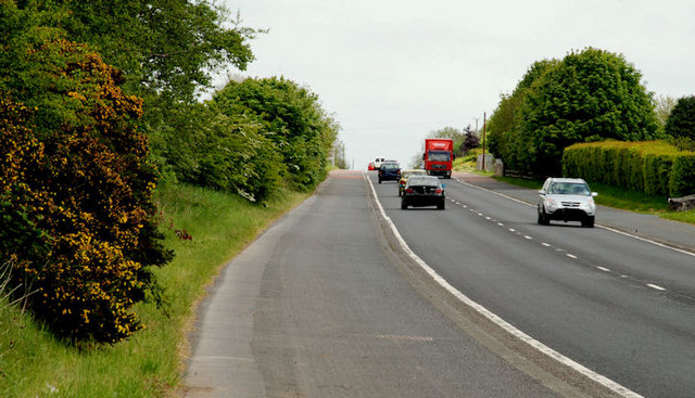
The Carryduff Road near Carryduff (May 2010)
Part of the Newcastle Belfast road (looking towards Carryduff) between the Temple and Carryduff. The whole road is of variable quality this being one of the better stretches. The old road still exists (out of picture on the right). See also J3657 : The Carryduff Road near Ballynahinch (2).
![Creative Commons Licence [Some Rights Reserved]](https://s1.geograph.org.uk/img/somerights20.gif)
|
· Find out How to reuse this image ·
Share:
|
|||||
| Start a discussion on J3561 | Suggest an update to this image | Contact the contributor | |||
Loading map... (JavaScript required)
- Grid Square
- J3561, 8 images (more nearby
 )
)
- Photographer
- Albert Bridge (find more nearby)
- Date Taken
- Tuesday, 25 May, 2010 (more nearby)
- Submitted
- Tuesday, 25 May, 2010
- Category
- Road > Road (more nearby)
- Subject Location
-
Irish:
 J 357 616 [100m precision]
WGS84: 54:29.1139N 5:54.3945W - Camera Location
-
Irish: J 356 615
- View Direction
- North-northeast (about 22 degrees)
This page has been viewed about 50 times.
View this location:
KML (Google Earth) ·
Google Maps ·
Bing Maps ·
Geograph Coverage Map ·
More Links for this image
·
Bing Maps ·
Geograph Coverage Map ·
More Links for this image