2009
ND1331 : Hill track above Dunbeath Water
taken 15 years ago, near to Badnagie, Highland, Scotland
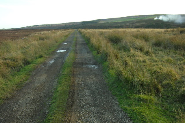
Hill track above Dunbeath Water
Hill track above Dunbeath Water with heath burning to the South.
 Map © Crown Copyright")
TIP: Click the map for more Large scale mapping
- Grid Square
- ND1331, 4 images (more nearby 🔍)
- Photographer
- George Brown (more nearby)
- Date Taken
- Saturday, 17 October, 2009 (more nearby)
- Submitted
- Tuesday, 25 May, 2010
- Subject Location
-
OSGB36:
 ND 13983 31892 [1m precision]
WGS84: 58:16.0349N 3:28.0731W - Camera Location
-
OSGB36: ND 13947 31965
- View Direction
- South-southeast (about 157 degrees)