N8553 : Disused Quarry, Co Meath
taken 14 years ago, 3 km from Batterjohn, Co Meath, Ireland
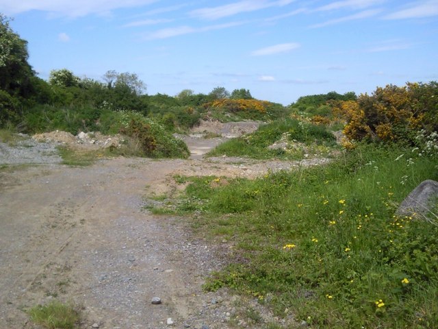
Disused Quarry, Co Meath
A disused quarry at Mitchelstown, Co Meath.
![Creative Commons Licence [Some Rights Reserved]](https://s1.geograph.org.uk/img/somerights20.gif)
|
· Find out How to reuse this image ·
Share:
|
|||||
| Start a discussion on N8553 | Suggest an update to this image | Contact the contributor | |||
Loading map... (JavaScript required)
- Grid Square
- N8553 (more nearby
 )
)
- Photographer
- C O'Flanagan (find more nearby)
- Date Taken
- Wednesday, 26 May, 2010 (more nearby)
- Submitted
- Friday, 28 May, 2010
- Category
- Quarry (disused) (more nearby)
- Subject Location
-
Irish:
 N 850 535 [100m precision]
WGS84: 53:31.5193N 6:43.0904W - Camera Location
-
Irish: N 851 535
- View Direction
- West-northwest (about 292 degrees)
This page has been viewed about 103 times.
View this location:
KML (Google Earth) ·
Google Maps ·
Bing Maps ·
Geograph Coverage Map ·
More Links for this image
·
Bing Maps ·
Geograph Coverage Map ·
More Links for this image