2009
NR7504 : Paterson's Rock and its navigation buoy
taken 15 years ago, near to Paterson's Rock [other Features], Argyll And Bute, Great Britain
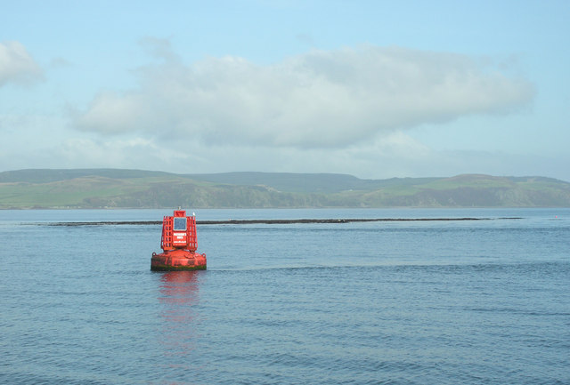
Paterson's Rock and its navigation buoy
Paterson's Rock is only seen at Low Spring Tides as several wrecks that lie either side of the rock will testify. The red Port-hand lateral buoy lies just South of the rock warning shipping to keep well clear.
 Map © Crown Copyright")
TIP: Click the map for more Large scale mapping
- Grid Square
- NR7504, 2 images (more nearby 🔍)
- Photographer
- George Brown (more nearby)
- Date Taken
- Friday, 11 September, 2009 (more nearby)
- Submitted
- Saturday, 29 May, 2010
- Subject Location
-
OSGB36:
 NR 75161 04544 [1m precision]
WGS84: 55:17.0133N 5:32.5247W - Camera Location
-
OSGB36: NR 75265 04254
- View Direction
- North-northwest (about 337 degrees)