N9659 : Crossroads, Co Meath
taken 14 years ago, near to Skreen, Co Meath, Ireland
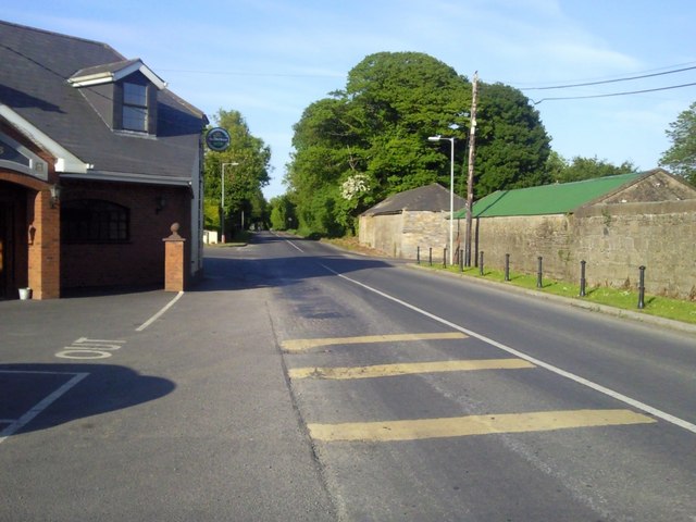
Crossroads, Co Meath
This is Oberstown Crossroads. Both roads are country roads. The actual junction is difficult to see, hence the yellow warning bands painted on the road. The side road joins between the buildings on the right of the picture. Swan's bar is partially seen on the left.
![Creative Commons Licence [Some Rights Reserved]](https://s1.geograph.org.uk/img/somerights20.gif)
|
· Find out How to reuse this image ·
Share:
|
|||||
| Start a discussion on N9659 | Suggest an update to this image | Contact the contributor | |||
Loading map... (JavaScript required)
- Grid Square
- N9659 (more nearby
 )
)
- Photographer
- C O'Flanagan (find more nearby)
- Date Taken
- Wednesday, 2 June, 2010 (more nearby)
- Submitted
- Wednesday, 2 June, 2010
- Category
- Road > Junction (more nearby)
- Subject Location
-
Irish:
 N 963 596 [100m precision]
WGS84: 53:34.6689N 6:32.8131W - Camera Location
-
Irish: N 962 595
- View Direction
- East-northeast (about 67 degrees)
This page has been viewed about 82 times.
View this location:
KML (Google Earth) ·
Google Maps ·
Bing Maps ·
Geograph Coverage Map ·
More Links for this image
·
Bing Maps ·
Geograph Coverage Map ·
More Links for this image