2006
NS4187 : South Loch Lomond
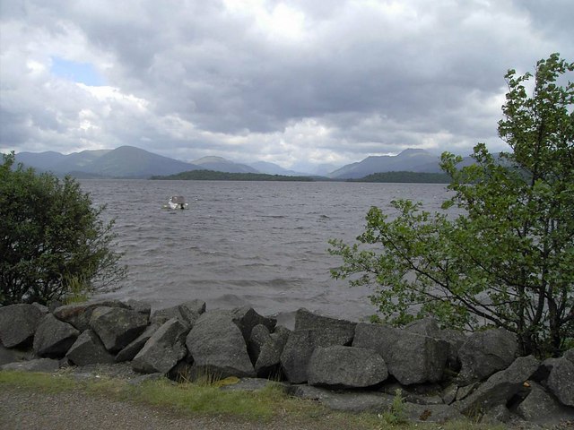
taken 18 years ago, near to Gartocharn, West Dunbartonshire, Scotland
South Loch Lomond
A square entirely occupied by water at the southern end of Loch Lomond. Looking from the loch shore at Ross Priory over the square to Torrinch, a long wooden island in the chain formed by the Highland Fault Line as it traverses this part of the loch.
 Map © Crown Copyright")
TIP: Click the map for more Large scale mapping
- Grid Square
- NS4187, 24 images (more nearby 🔍)
- Photographer
- Graham Benny (more nearby)
- Date Taken
- Thursday, 22 June, 2006 (more nearby)
- Submitted
- Thursday, 22 June, 2006
- Subject Location
-
OSGB36:
 NS 414 877 [100m precision]
WGS84: 56:3.3475N 4:32.9082W - Camera Location
-
OSGB36: NS 414 877
- View Direction
- Northwest (about 315 degrees)