2006
NN7900 : The Firs and road from Sheriffmuir
taken 18 years ago, near to Dunblane, Stirling, Scotland
This is 1 of 2 images, with title The Firs and road from Sheriffmuir in this square
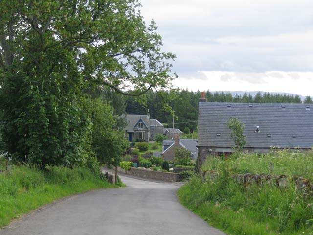
The Firs and road from Sheriffmuir
Also shows part of converted steadings of former Kippencross Home Farm.
 Map © Crown Copyright")
TIP: Click the map for more Large scale mapping
- Grid Square
- NN7900, 13 images (more nearby 🔍)
- Photographer
- Dave Coustick (more nearby)
- Date Taken
- Thursday, 22 June, 2006 (more nearby)
- Submitted
- Friday, 23 June, 2006
- Subject Location
-
OSGB36:
 NN 792 003 [100m precision]
WGS84: 56:10.7982N 3:56.8573W - Camera Location
-
OSGB36: NN 794 005
- View Direction
- Southwest (about 225 degrees)