2010
NS3678 : Round enclosure on Carman Muir
taken 14 years ago, near to Renton, West Dunbartonshire, Scotland
This is 1 of 3 images, with title Round enclosure on Carman Muir in this square
Round enclosure on Carman Muir
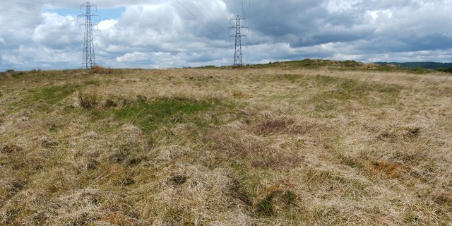
The feature was originally reported as a hut circle; however, as described in the end-note, it was later considered more likely that this had been an animal enclosure. See the WoSAS link in the end-note for further details.
See NS3678 : Round enclosure on Carman Muir for another view, and for the main description.
In the present photograph, the circular feature fills the width of the image; the curving ridge of its far side is evident, and its interior makes up the foreground.
See NS3678 : Round enclosure on Carman Muir for another view, and for the main description.
In the present photograph, the circular feature fills the width of the image; the curving ridge of its far side is evident, and its interior makes up the foreground.
Circular enclosure on Carman Muir
A low, indistinct, circular bank, about 14 metres in diameter, outlines this feature, which is difficult to pick out on the ground. It was originally reported as a hut circle, but a later opinion (see comments from 2014 in Link
at WoSAS) is that it had probably been an animal enclosure. See Link
 Map © Crown Copyright")
TIP: Click the map for more Large scale mapping
- Grid Square
- NS3678, 137 images (more nearby 🔍)
- Photographer
- Lairich Rig (more nearby)
- Date Taken
- Friday, 28 May, 2010 (more nearby)
- Submitted
- Wednesday, 9 June, 2010
- Subject Location
-
OSGB36:
 NS 3698 7857 [10m precision]
WGS84: 55:58.3417N 4:36.8294W - Camera Location
-
OSGB36: NS 3699 7857
- View Direction
- West-northwest (about 292 degrees)