2010
NT1801 : End of the road
taken 14 years ago, near to Mid Height [hill or Mountain], Dumfries And Galloway, Great Britain
End of the road
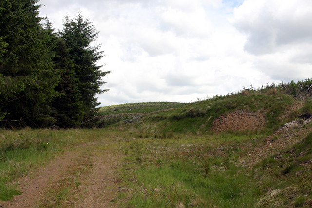
Turning area at the end of the marked forest track, probably last in use when the area on the right was replanted. The high ground in the distance and on the right is delightfully named 'Drowningdub Knowes'.
 Map © Crown Copyright")
TIP: Click the map for more Large scale mapping
- Grid Square
- NT1801, 3 images (more nearby 🔍)
- Photographer
- Bob Cowan (more nearby)
- Date Taken
- Tuesday, 15 June, 2010 (more nearby)
- Submitted
- Wednesday, 16 June, 2010
- Subject Location
-
OSGB36:
 NT 185 016 [100m precision]
WGS84: 55:18.1527N 3:17.0606W - Camera Location
-
OSGB36: NT 185 016
- View Direction
- North-northeast (about 22 degrees)