N9746 : Buttercup Pasture, Co Meath
taken 14 years ago, near to Batterstown, Co Meath, Ireland
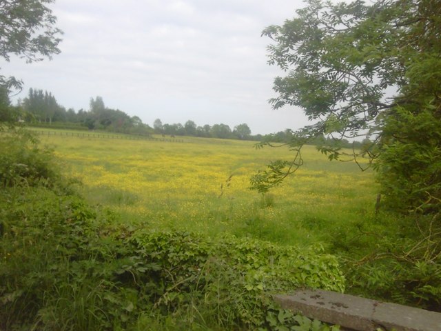
Buttercup Pasture, Co Meath
A field of buttercups, Cookstown, near Batterstown, Co Meath.
![Creative Commons Licence [Some Rights Reserved]](https://s1.geograph.org.uk/img/somerights20.gif)
|
· Find out How to reuse this image ·
Share:
|
|||||
| Start a discussion on N9746 | Suggest an update to this image | Contact the contributor | |||
Loading map... (JavaScript required)
- Grid Square
- N9746, 2 images (more nearby
 )
)
- Photographer
- C O'Flanagan (find more nearby)
- Date Taken
- Thursday, 17 June, 2010 (more nearby)
- Submitted
- Thursday, 17 June, 2010
- Category
- Landscape (more nearby)
- Subject Location
-
Irish:
 N 978 465 [100m precision]
WGS84: 53:27.6131N 6:31.6179W - Camera Location
-
Irish: N 978 465
- View Direction
- EAST (about 90 degrees)
Image classification(about):
Geograph
This page has been viewed about 38 times.
View this location:
KML (Google Earth) ·
Google Maps ·
Bing Maps ·
Geograph Coverage Map ·
More Links for this image
·
Bing Maps ·
Geograph Coverage Map ·
More Links for this image