2010
TQ3220 : Field at Bedelands Nature Reserve
taken 14 years ago, near to Burgess Hill, West Sussex, England
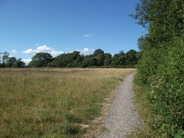
Field at Bedelands Nature Reserve
Field with path running to the side on the northern side of Burgess Hill. The path comes from Long Wood, and heads toward a crossing of the Brighton Main Line, coming out on Valebridge Road.
 Map © Crown Copyright")
TIP: Click the map for more Large scale mapping
- Grid Square
- TQ3220, 73 images (more nearby 🔍)
- Photographer
- Curtis Bateman (more nearby)
- Date Taken
- Wednesday, 21 July, 2010 (more nearby)
- Submitted
- Thursday, 22 July, 2010
- Subject Location
-
OSGB36:
 TQ 320 206 [100m precision]
WGS84: 50:58.2305N 0:7.2751W - Camera Location
-
OSGB36: TQ 320 206
- View Direction
- North-northwest (about 337 degrees)