2010
SN7049 : Nant yr Adar
taken 14 years ago, near to Craig Siarls [hill or Mountain], Carmarthenshire, Great Britain
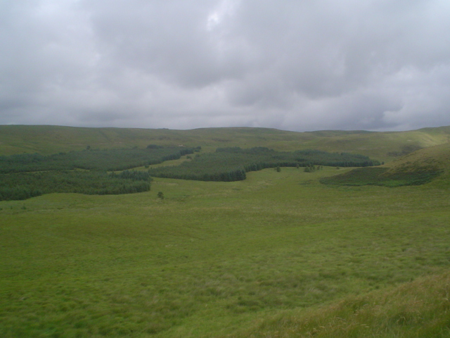
Nant yr Adar
This tributary of the upper Afon Cothi runs from right to left across the photo, which also shows the afforestation on the valley's north-western side with the summit of Bryn Mwysau above it.
 Map © Crown Copyright")
TIP: Click the map for more Large scale mapping
- Grid Square
- SN7049 (more nearby 🔍)
- Photographer
- Nic Howes (more nearby)
- Date Taken
- Thursday, 12 August, 2010 (more nearby)
- Submitted
- Thursday, 12 August, 2010
- Subject Location
-
OSGB36:
 SN 708 491 [100m precision]
WGS84: 52:7.5255N 3:53.3231W - Camera Location
-
OSGB36: SN 708 491
- View Direction
- NORTH (about 0 degrees)