J2966 : Quarterlands Road sign, Drumbeg
taken 14 years ago, near to Drumbeg, Co Down, Northern Ireland
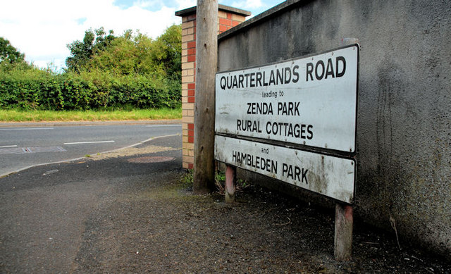
Quarterlands Road sign, Drumbeg
Comprehensive sign at the Ballyskeagh Road end of the Quarterlands Road J3065 : The Quarterlands Road near Lisburn. I might be wrong but I understand that the name is derived from the old Scottish system of land measurement - a quarterland where land was assessed by value rather than by area.
Information is available on this Wiki link Link . Further help welcome.
Information is available on this Wiki link Link
The Ballyskeagh Road near Dunmurry
A twisting B road running from near the Drum Bridge, towards Lambeg.
![Creative Commons Licence [Some Rights Reserved]](https://s1.geograph.org.uk/img/somerights20.gif)
|
· Find out How to reuse this image ·
Share:
|
|||||
| Start a discussion on J2966 | Suggest an update to this image | Contact the contributor | |||
Loading map... (JavaScript required)
- Grid Square
- J2966, 61 images (more nearby
 )
)
- Photographer
- Albert Bridge (find more nearby)
- Date Taken
- Saturday, 21 August, 2010 (more nearby)
- Submitted
- Saturday, 21 August, 2010
- Place (from Tags)
- Category
- Signs (more nearby)
- Subject Location
-
Irish:
 J 299 668 [100m precision]
WGS84: 54:31.9841N 5:59.6057W - Camera Location
-
Irish: J 299 668
- View Direction
- Northeast (about 45 degrees)
Other Tags
Image classification(about):
Geograph
This page has been viewed about 100 times.
View this location:
KML (Google Earth) ·
Google Maps ·
Bing Maps ·
Geograph Coverage Map ·
More Links for this image