2010
SP7912 : "Pebble Way" - Cycle Route towards Aylesbury
taken 14 years ago, near to Stone, Buckinghamshire, England
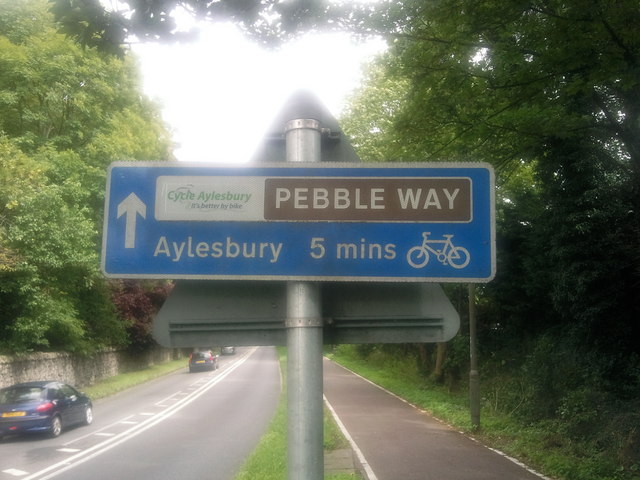
"Pebble Way" - Cycle Route towards Aylesbury
This is the "Pebble Way" cycle route sign that is directly behind the Bugle Horn public house. This cycle sign directs towards Aylesbury town centre.
 Map © Crown Copyright")
TIP: Click the map for more Large scale mapping
- Grid Square
- SP7912, 39 images (more nearby 🔍)
- Photographer
- Chris Millard (more nearby)
- Date Taken
- Sunday, 29 August, 2010 (more nearby)
- Submitted
- Monday, 30 August, 2010
- Subject Location
-
OSGB36:
 SP 796 121 [100m precision]
WGS84: 51:48.1559N 0:50.7674W - Camera Location
-
OSGB36: SP 796 121
- View Direction
- East-northeast (about 67 degrees)