2010
HU3672 : Foreshore to west of Calna Taing showing fenceline going into the ebb
taken 14 years ago, near to Sullom, Mainland, Shetland Islands, Scotland
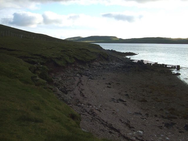
Foreshore to west of Calna Taing showing fenceline going into the ebb
 Map © Crown Copyright")
TIP: Click the map for more Large scale mapping
- Grid Square
- HU3672 (more nearby 🔍)
- Photographer
- john bateson (more nearby)
- Date Taken
- Sunday, 1 August, 2010 (more nearby)
- Submitted
- Sunday, 5 September, 2010
- Subject Location
-
OSGB36:
 HU 368 726 [100m precision]
WGS84: 60:26.1541N 1:19.9737W - Camera Location
-
OSGB36: HU 369 727
- View Direction
- Southwest (about 225 degrees)