J5082 : Coastline, Bangor
taken 14 years ago, near to Bangor, Co Down, Northern Ireland
This is 1 of 4 images, with title Coastline, Bangor in this square
Coastline, Bangor
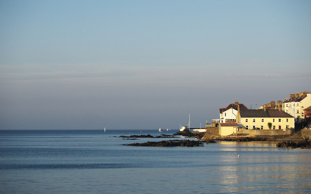
Coastline at the Seacliff Road in Bangor.
The yellow painted terrace beside the rocks is known as 'Sea Cliff' and dates from c1780 J5082 : Houses on Seacliff Road.
The yellow painted terrace beside the rocks is known as 'Sea Cliff' and dates from c1780 J5082 : Houses on Seacliff Road.
![Creative Commons Licence [Some Rights Reserved]](https://s1.geograph.org.uk/img/somerights20.gif)
|
· Find out How to reuse this image ·
Share:
|
|||||
| Start a discussion on J5082 | Suggest an update to this image | Contact the contributor | |||
Loading map... (JavaScript required)
- Grid Square
- J5082, 2267 images (more nearby
 )
)
- Photographer
- Rossographer (find more nearby)
- Date Taken
- Friday, 3 September, 2010 (more nearby)
- Submitted
- Tuesday, 7 September, 2010
- Category
- Coastline (more nearby)
- Subject Location
-
Irish:
 J 509 825 [100m precision]
WGS84: 54:40.1168N 5:39.6537W - Camera Location
-
Irish: J 507 823
- View Direction
- Northeast (about 45 degrees)
Image classification(about):
Geograph
This page has been viewed about 197 times.
View this location:
KML (Google Earth) ·
Google Maps ·
Bing Maps ·
Geograph Coverage Map ·
More Links for this image
·
Bing Maps ·
Geograph Coverage Map ·
More Links for this image