2010
NN8777 : Gleann Diridh and Gleann Mhairc watershed
taken 14 years ago, near to Carn a' Chiaraidh [hill or Mountain], Perth And Kinross, Great Britain
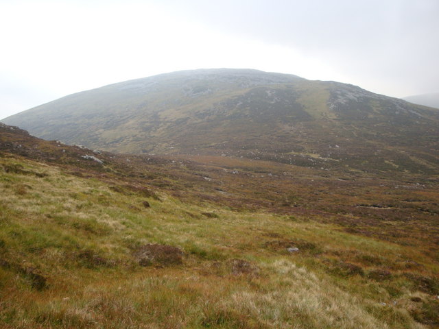
Gleann Diridh and Gleann Mhairc watershed
Caochan Carn a' Cheiridh burn flows NE and a tributary of Allt Dirigh
 Map © Crown Copyright")
TIP: Click the map for more Large scale mapping
- Grid Square
- NN8777, 3 images (more nearby 🔍)
- Photographer
- David Lecore (more nearby)
- Date Taken
- Saturday, 4 September, 2010 (more nearby)
- Submitted
- Saturday, 11 September, 2010
- Subject Location
-
OSGB36:
 NN 874 778 [100m precision]
WGS84: 56:52.6837N 3:50.9335W - Camera Location
-
OSGB36: NN 872 779
- View Direction
- Southeast (about 135 degrees)